Mapping open source geospatial capability across Oceania
A public directory of the people, projects, and organisations contributing to and building with OSGeo tools in our region.

The OSS Capabilities Map is a community‑driven project by OSGeo Oceania.
Our goal is simple: to recognise and connect the people and organisations contributing to open source geospatial work across Oceania.
What's on the map

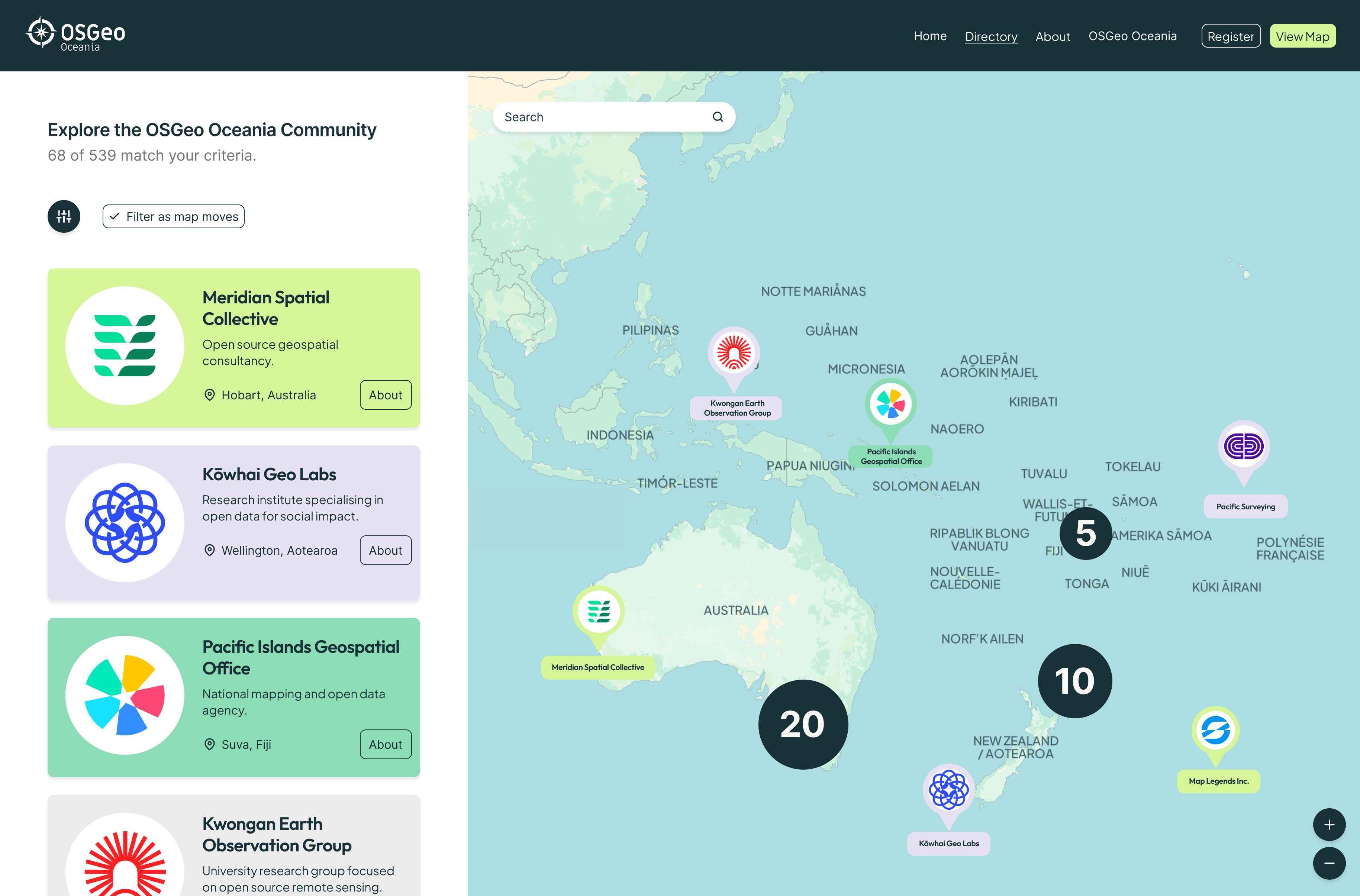
Contributors & organisations
People and teams contributing to and building with open source geospatial in Oceania.

Capabilities you can find
Search and filter by location, profile type, and capability area to find the skills you need.
One view of the region
The region's open source geospatial capability, together in one place.
Are you on the map?
If you (or your organisation) are actively working with open source geospatial in Oceania — contributing to it, providing services around it, or using it in your projects — you belong here.
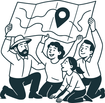
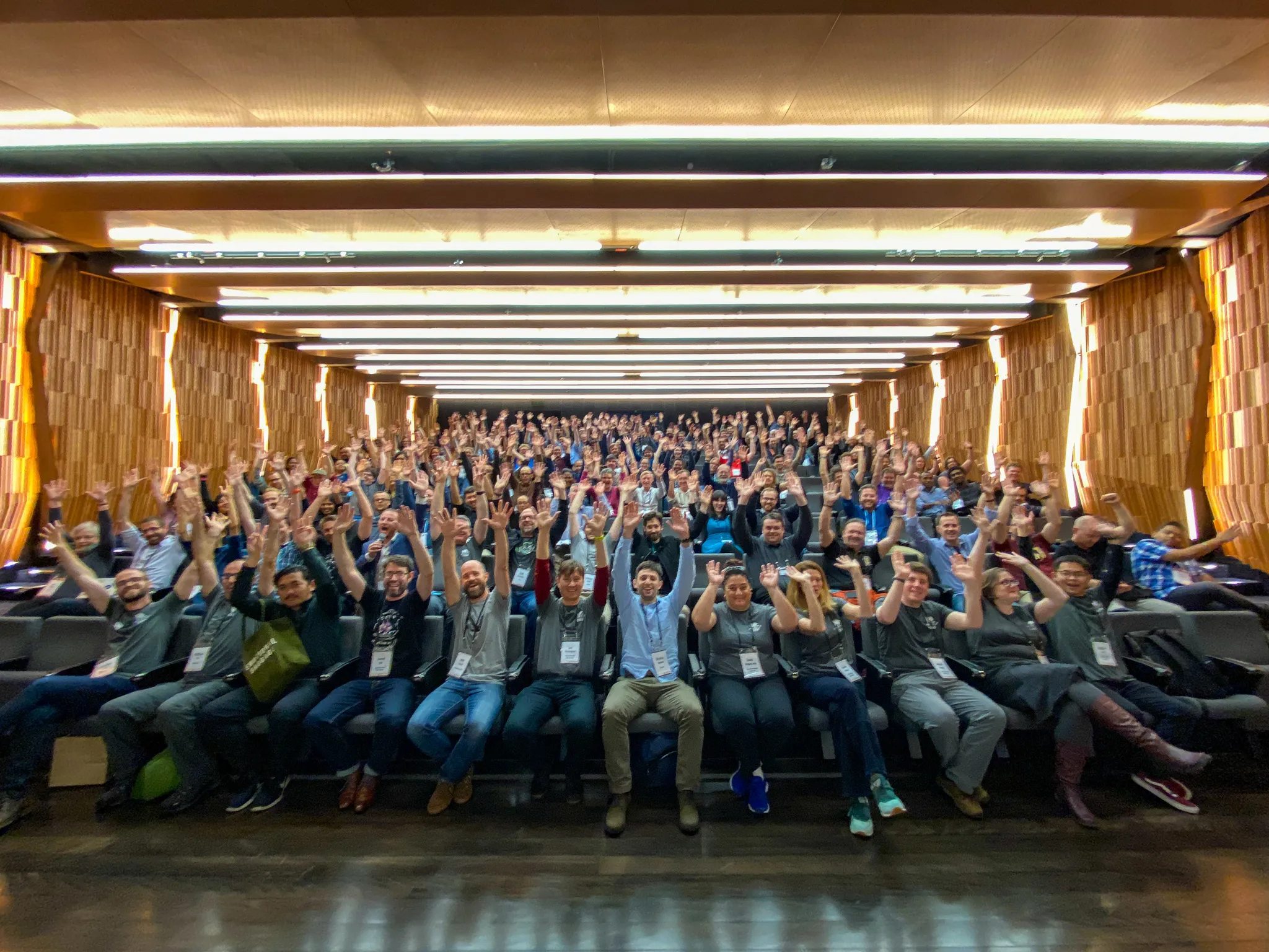
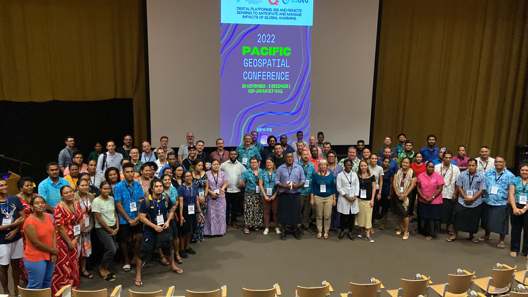
New to open source geospatial?
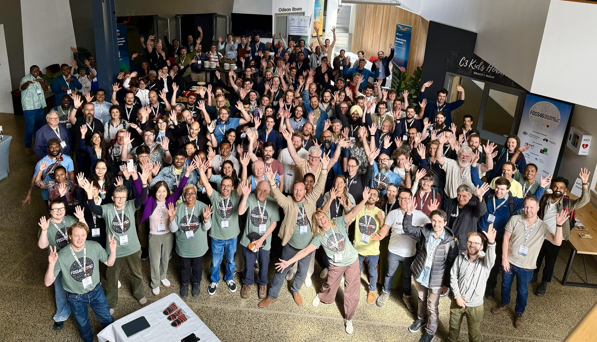
Want to get involved? OSGeo Oceania — the regional chapter — runs events, projects, and volunteering across the region. Everyone's welcome, wherever you're starting from.