
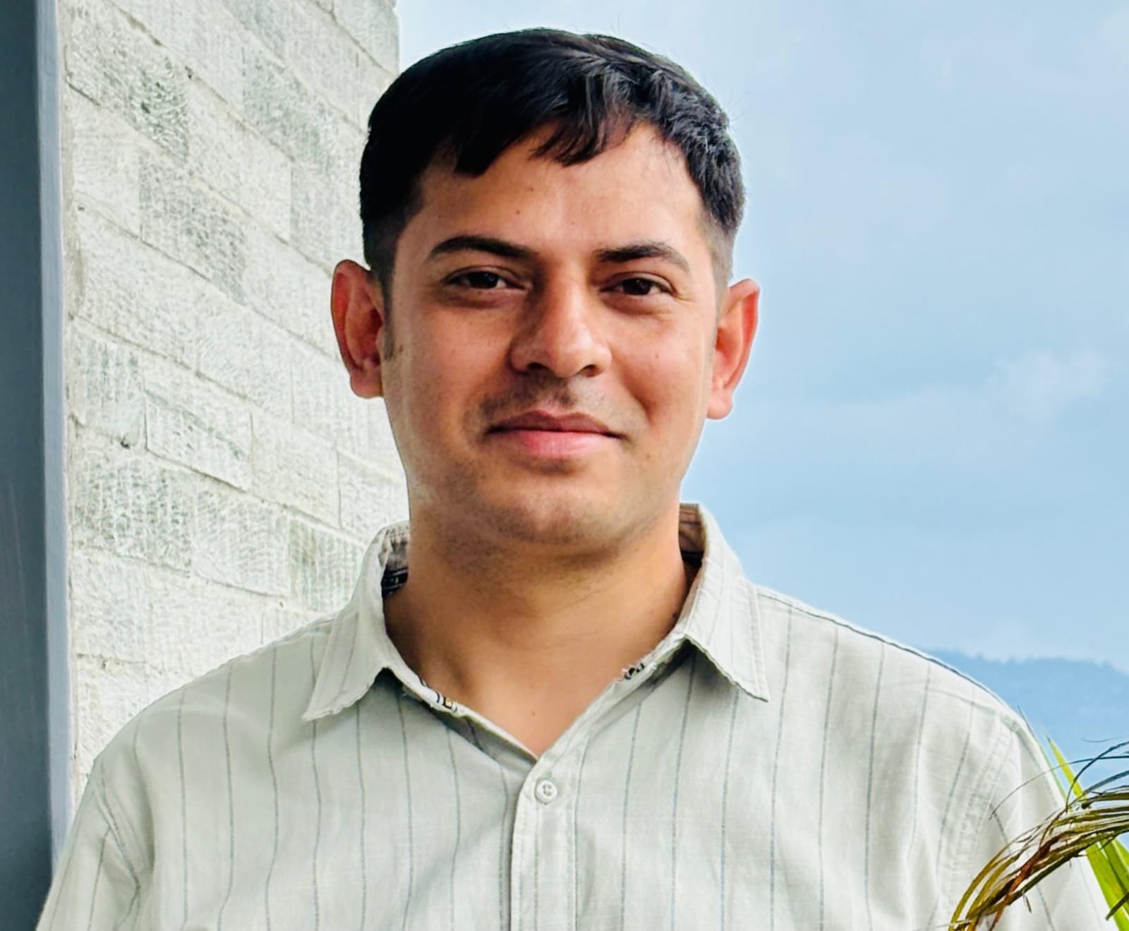
Anup Dahal
Brisbane, Australia 🇦🇺
Service provider / consultancySoftware vendor / maintainerAcademic / research institution
Geospatial Software Engineer with over 5 years of experience working with open-source geospatial technologies. I have contributed to and maintained OSGeo projects such as GeoNode and GeoServer as a GIS Software Developer.
About
I provide open-source GIS development, training, and drone/aerial data processing using tools like GeoServer, GeoNode, QGIS, Cesium, GDAL, React, MapLibre, PDAL and WebODM. As a research student, I’m also working on spatial digital twins and AI to help mining companies and councils make better decisions. My goal is to help grow open-source GIS knowledge and adoption across Oceania.
Capability areas
- •3D / Digital twin / BIM
- •AI / ML for geospatial
- •Architecture & technical advisory
- •Cartography & visualisation
- •Cloud & DevOps for geospatial
- •Consulting & advisory
- •Custom development
- •Data services
- •Drone / UAV / Remote sensing
- •Enterprise migration
- •Geospatial databases & infrastructure
- •Implementation & integration
- •Mobile / field data collection
- •Open data publishing & sharing
- •Product strategy & roadmap
- •Project & programme management
- •Research & R&D
- •Spatial analysis & modelling
- •Standards & interoperability advisory
- •Support & maintenance
- •Training & capacity building
- •UI / UX for geospatial applications
- •Web mapping & web applications
Open source projects
Are you on the map?
If you (or your organisation) are contributing to or building with open source geospatial in Oceania, you belong here.